
Area Trails in Northern Leelanau
At the tip of the Leelanau PENINSULA
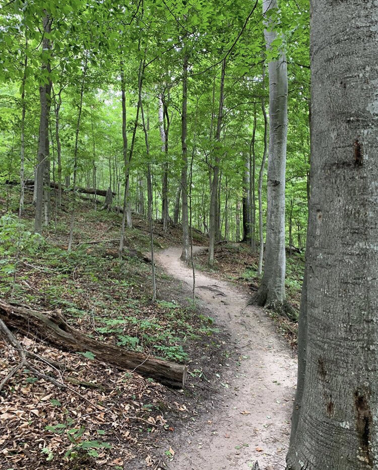
The Leelanau Peninsula is known for its abundance of protected natural land which is rich with wildlife, flora, and fauna. The protected land by both local and state agencies let us enjoy what makes this area so special. There are miles of trails through different landscape footprints, all offering a different view into the geological formations of the peninsula.
Nagonaba Trail System around Northport
click to enlarge image
You can get to the Nagonaba trail system from multiple places around Northport. From the northern parking lot by the Golf course, there is a flat trail that takes you past the south side of Garthe Pond. From the same parking lot, you can take the trail south around the back side of the Northport Creek Golf Course and the township sports fields. There is also ample parking here by the fields.
From right in town, go west up Nagonaba St. to the parking lot and trailhead for a short circle that connects to the main part of the trial and the ridge trail.
North to south, the trail is 2 miles in one direction.

Leelanau State Park
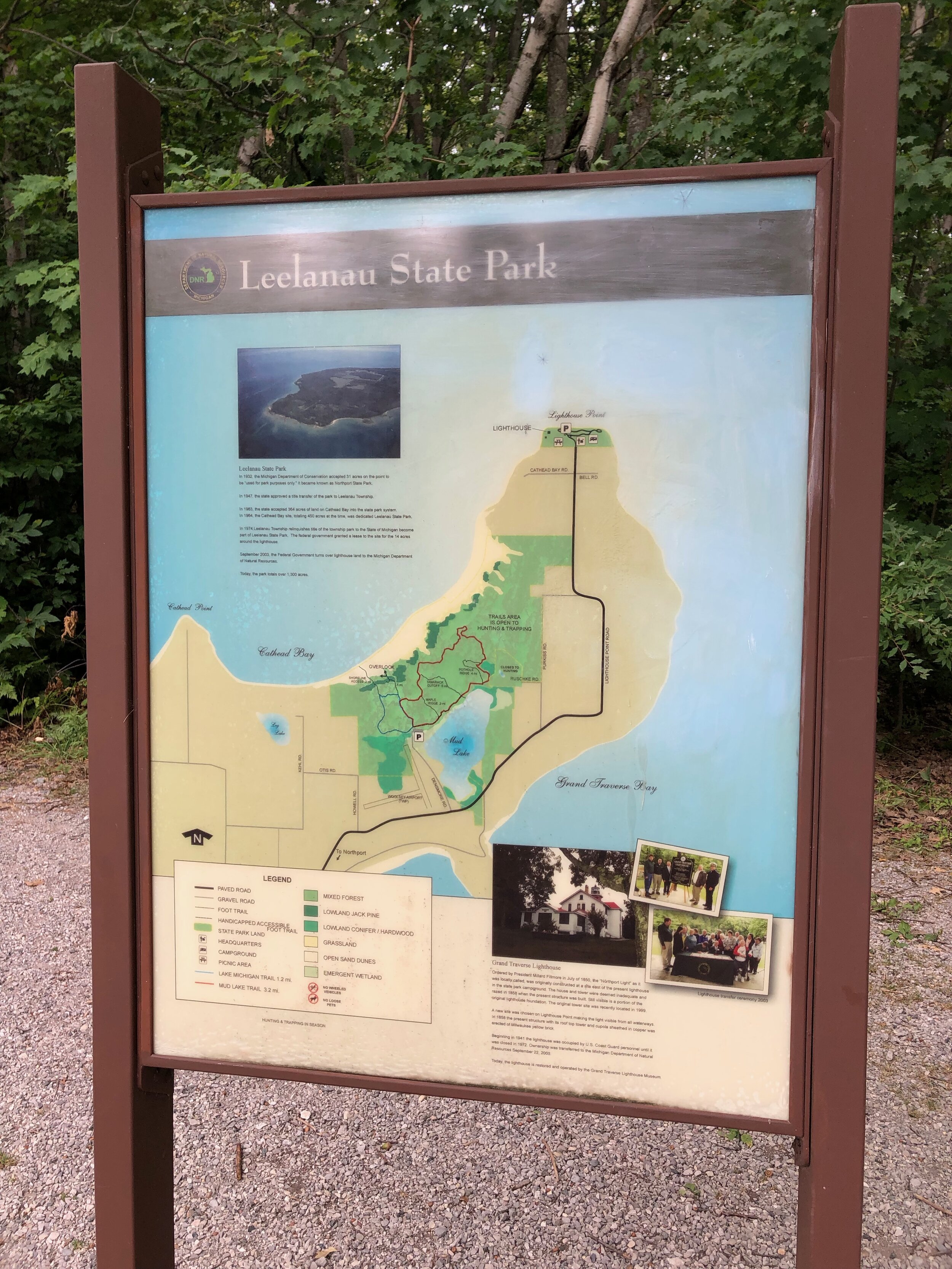
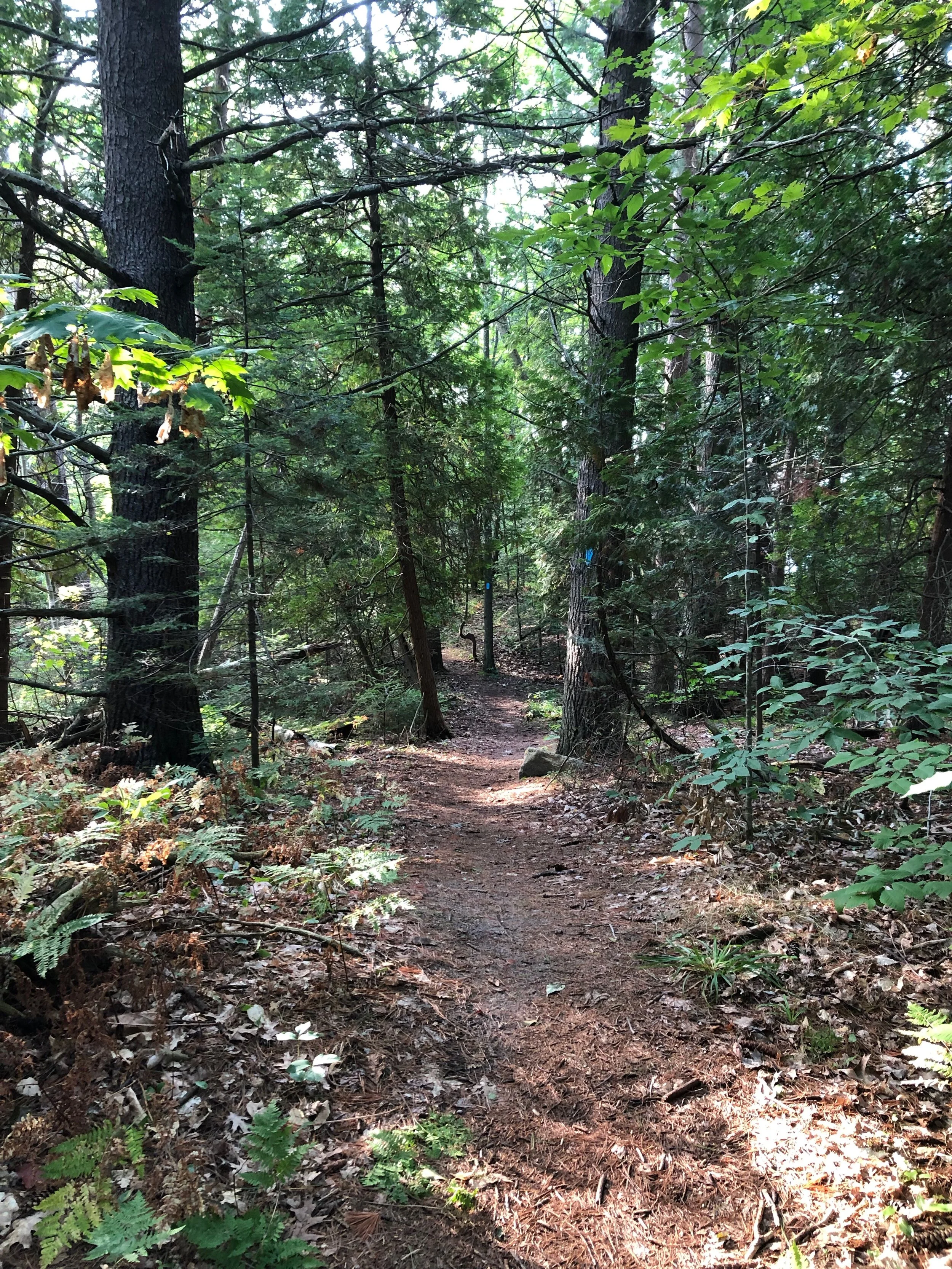
With it’s two sections, the Leelanau State Park protects a large area of the Northern Leelanau Peninsula on the north and west sides. The main trail system has over 9 mile of criss-crossing paths.
The park is about 5 miles north of Northport just past the Woolsey Airport, turn left onto Densmore Rd, a dirt road that goes around Mud Lake and ends at the trailhead.
There is ample parking here but you will need to display an up to date state park pass in your window. If you do not have one, there is a self-serve kiosk to purchase a day pass. There are also a few picnic benches and outhouse style bathrooms by the parking lot. Bring plenty of water and hike with a buddy, there is often little cell phone signal this far north of town. View more information and a trail map on the DNR website or view a PDF of the trails here.
Leelanau Conservancy
The Leelanau Conservancy has been protecting land in the county for over 30 years. Protected areas in Northern Leelanau include: Lighthouse West, Kehl Lake Natural Area, Jeff Lamont Natural Area, Finton Natural Area, Soper Natural Area, Houdek Dunes, Clay Cliffs, Belanger Creek Preserve, Frazier-Freeland Preserve, along with 17 other natural areas around the county.
https://www.leelanauconservancy.org/
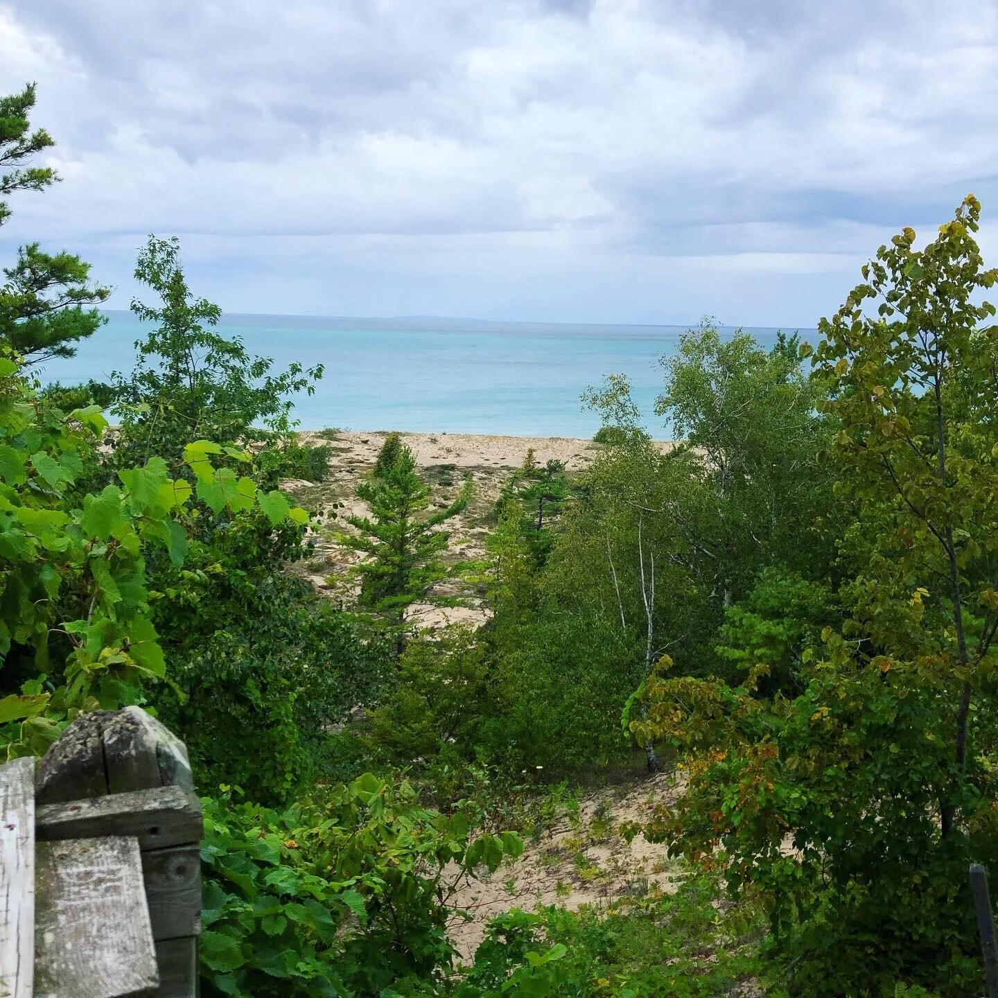
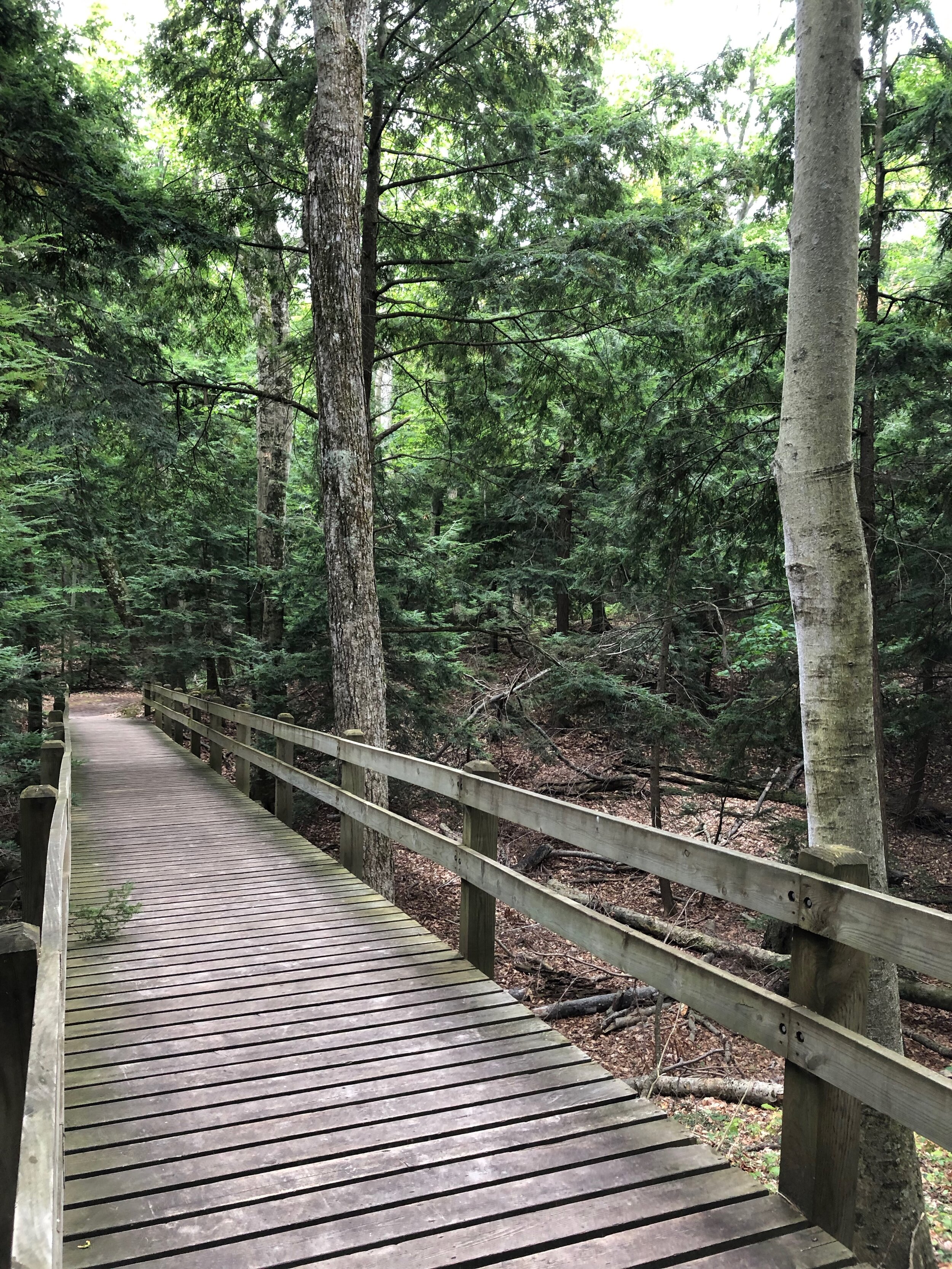
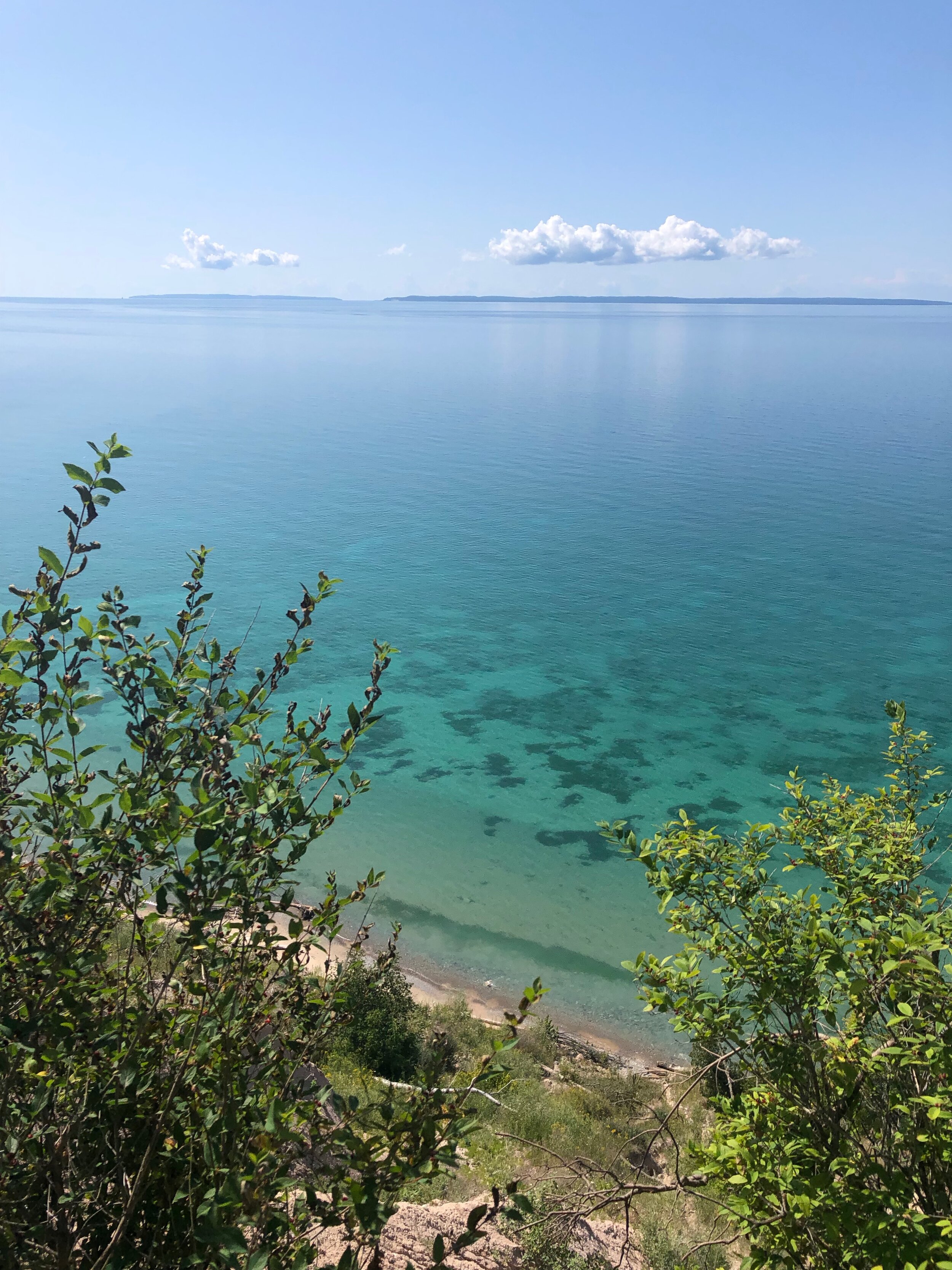
Lighthouse West
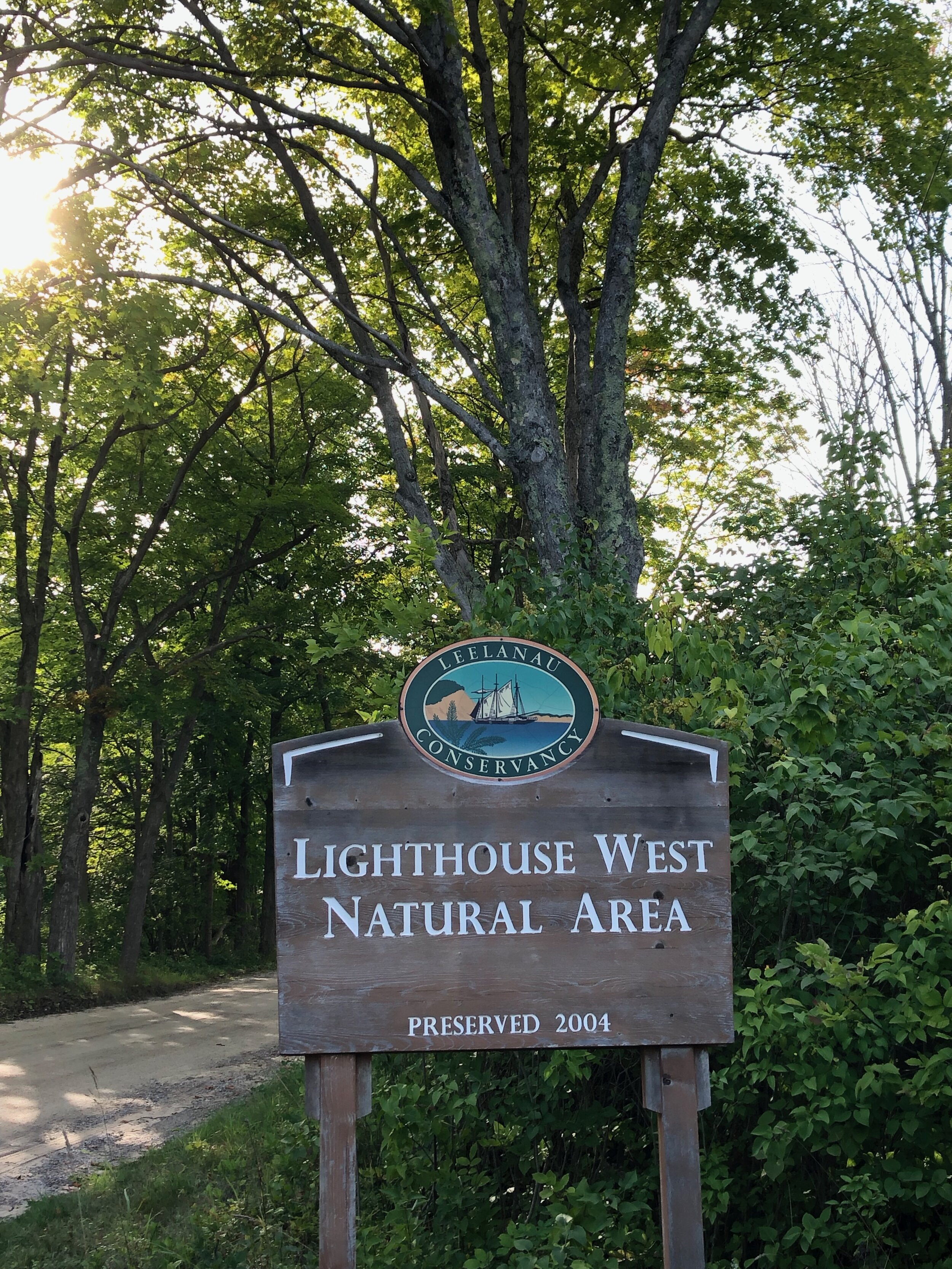


Lighthouse West provides an array of habitat for over 100 species of our feathered friends. 42 acres and 642 feet of undeveloped shoreline along Lake Michigan provide a place to stop, feed and rest before crossing the big water.
There is a 1.2-mile circular crossing trail network on flat terrain through groves of trees and fruit bushes until you get to the steep drop off to what is called a “boulder terrace.” The stairs take you down to the ancient lake level and then you proceed to the current lake level. We suggest hiking with a friend when up by the lighthouse as cell phone reception can be sparse.
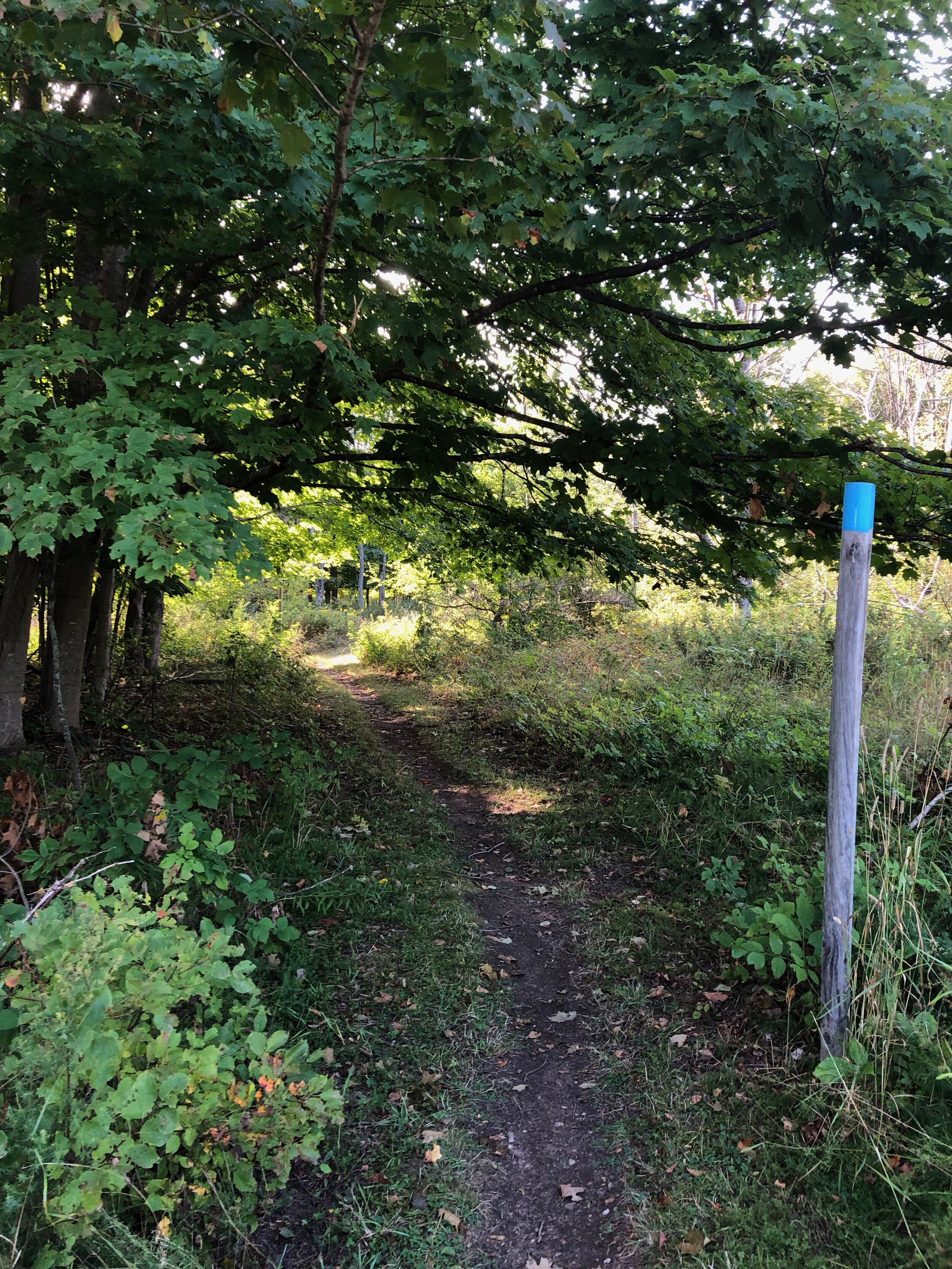
Kehl Lake
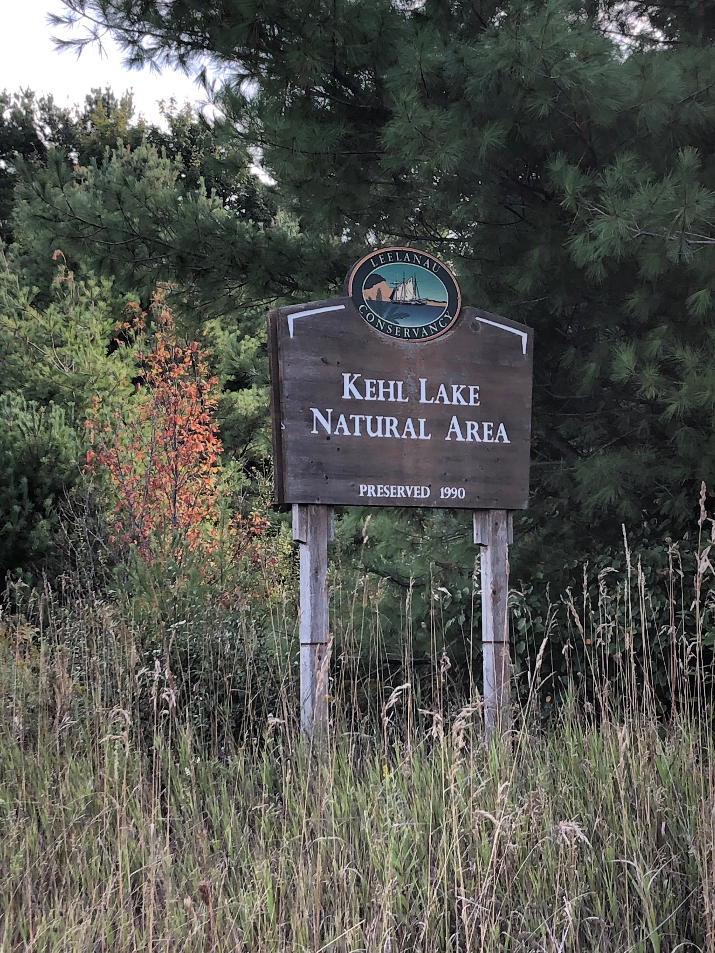
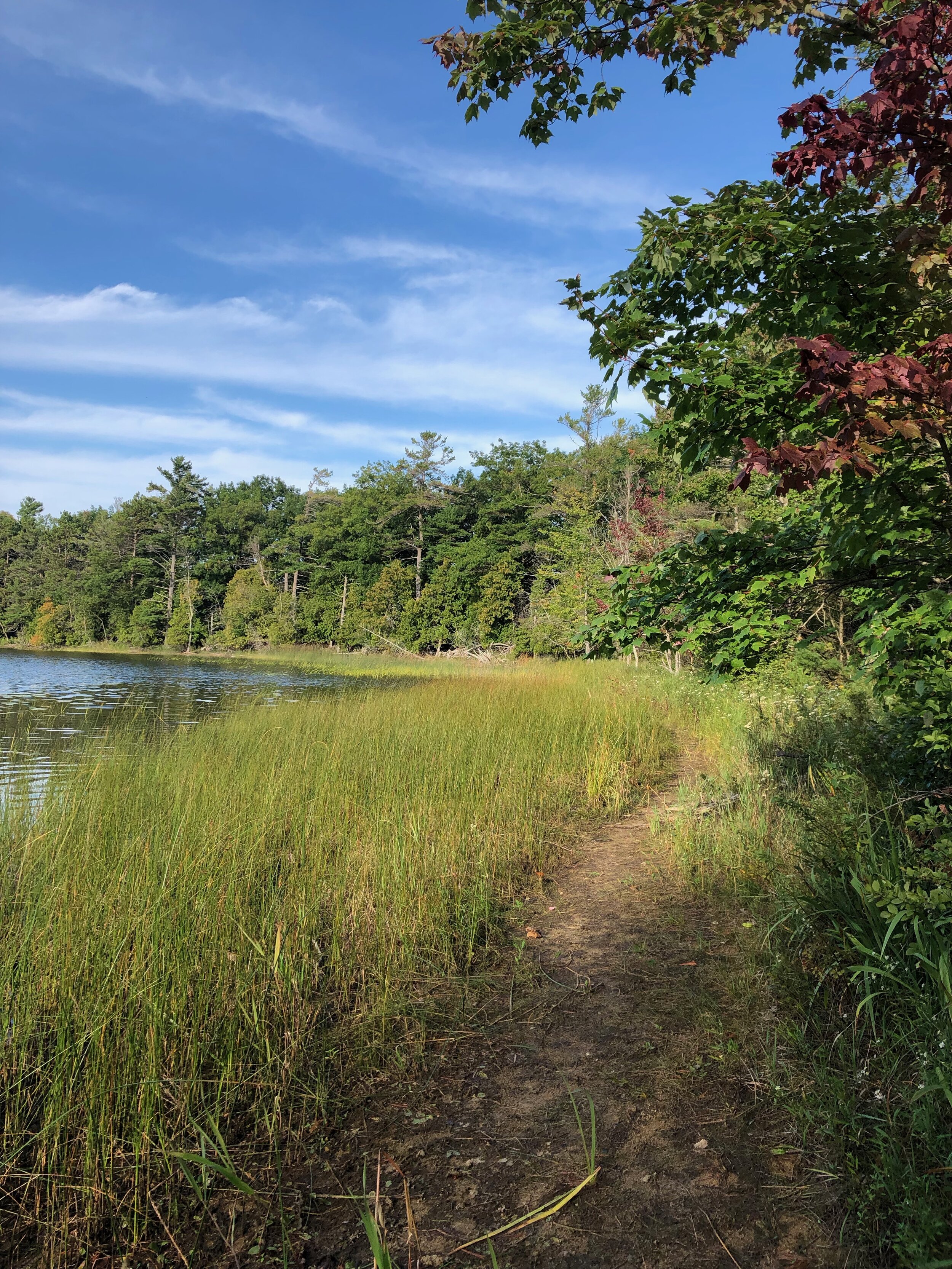
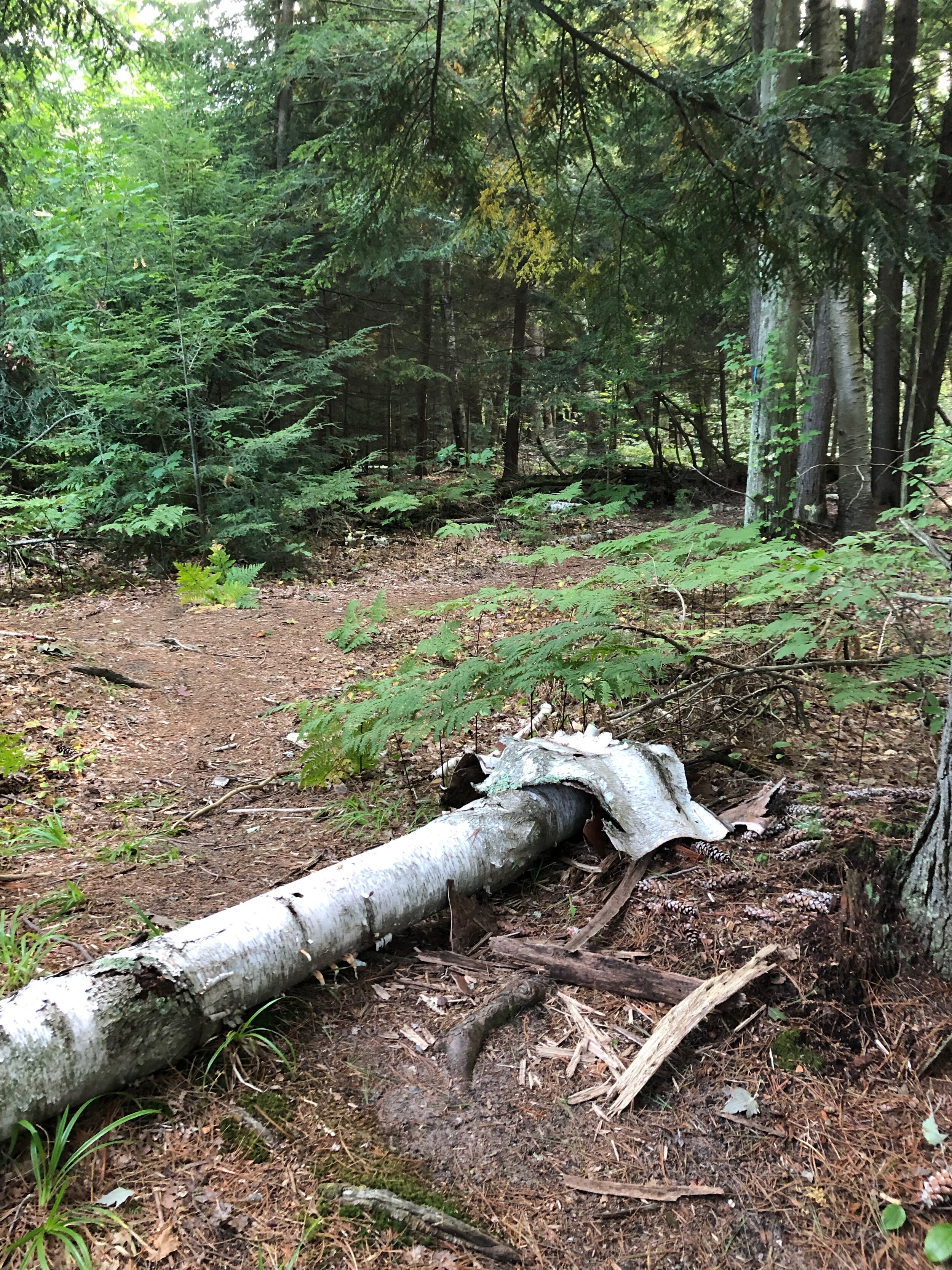
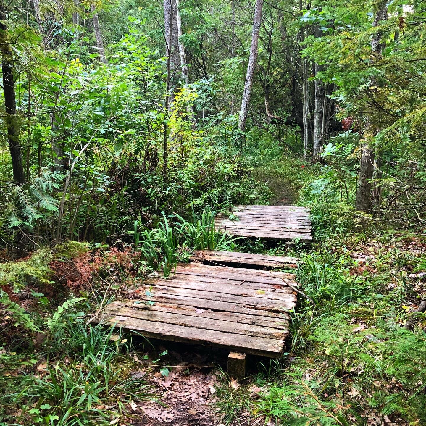
The Kehl Lake Natural Area protects three quarters of the inland lake’s shoreline along with 279 acres of wetlands and towering mixed forest. The 100-year-old hemlocks and old-growth white pines which surround the lake provide food and cover for wildlife.
The trails around this area are wide and flat with some obstacles around the marsh area.
Getting to the area takes you off the main roads around older farming lands of the area. When driving north from the town, turn left onto Snyder Rd, just past the curve of Kilcherman Rd. At the end of Snyder, turn right onto Sugar Bush Rd which takes an almost immediate left, turning into Kehl Rd. You will see the sign for the Natural area on your left after the sheep farm.
We urge caution in the fall as hunting is permitted in the area. We suggest staying to the out and back path close to the lake around dawn and dusk as well as wear bright colors.
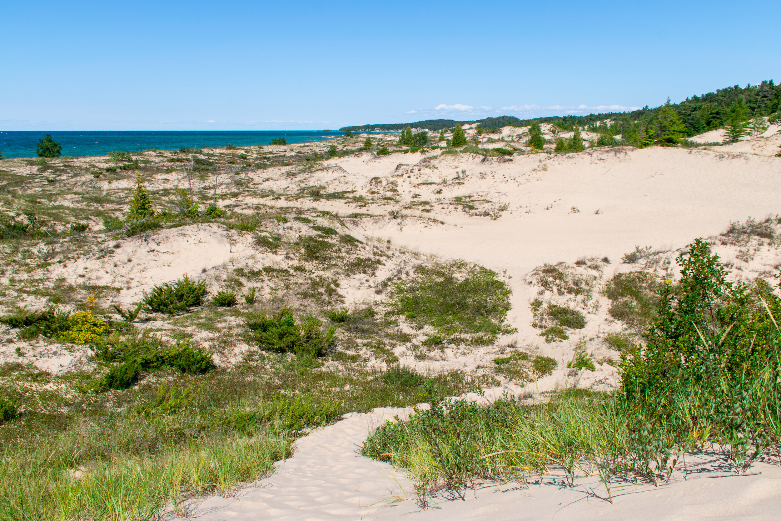
Houdek Dunes
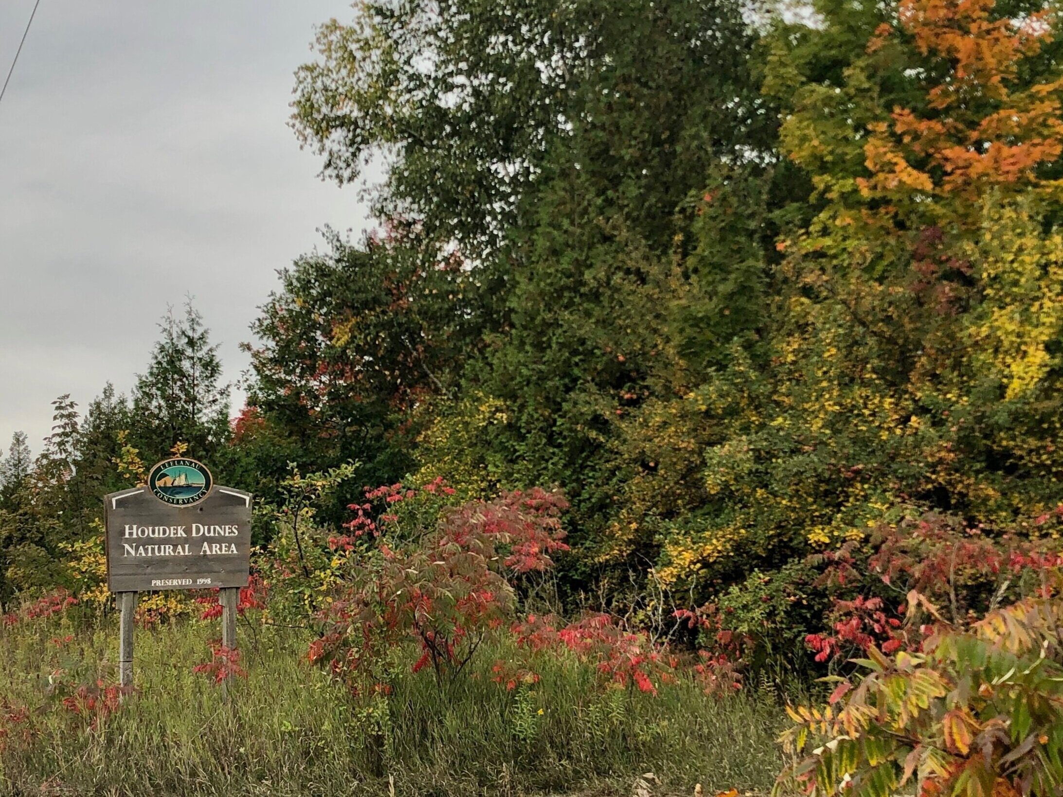
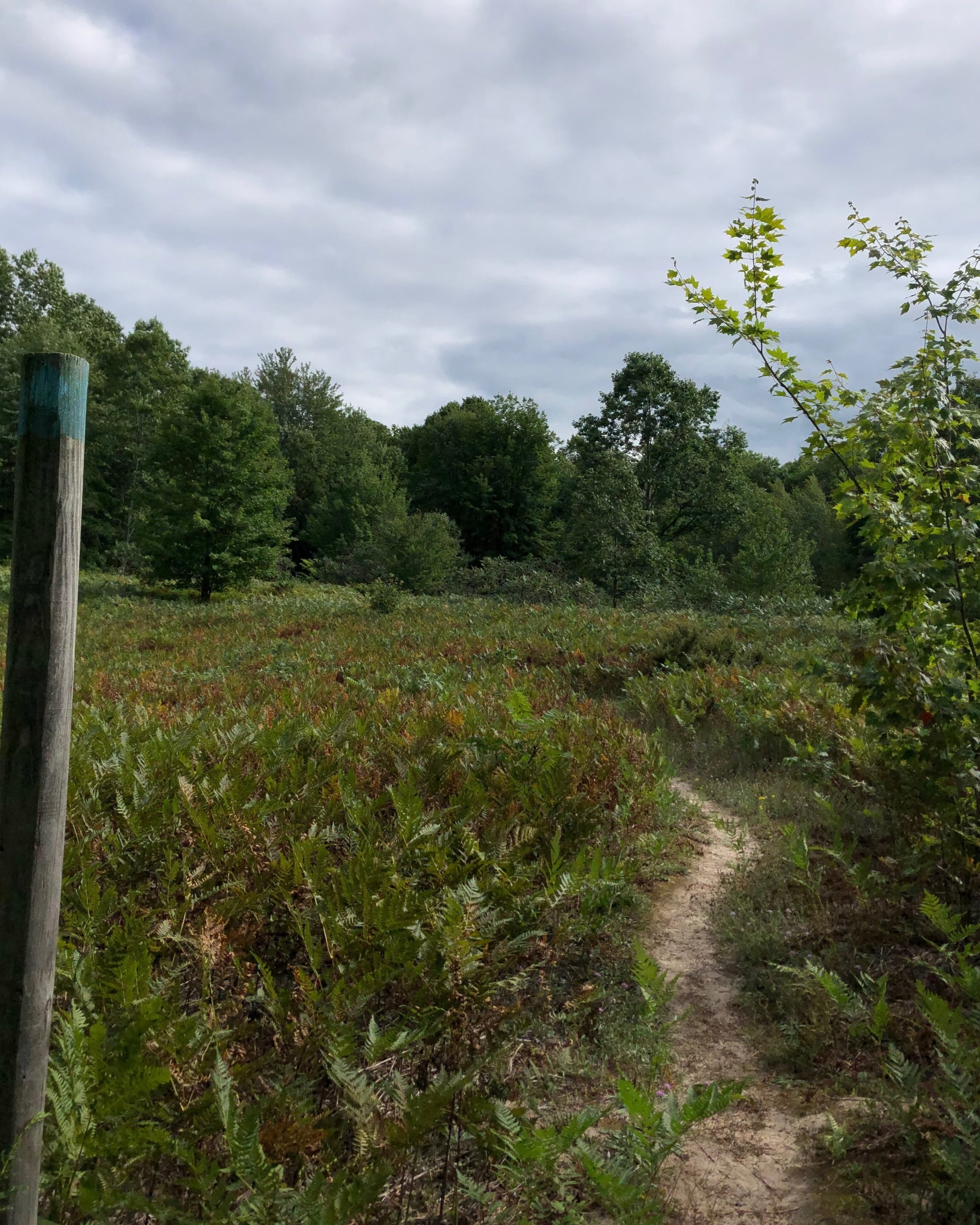
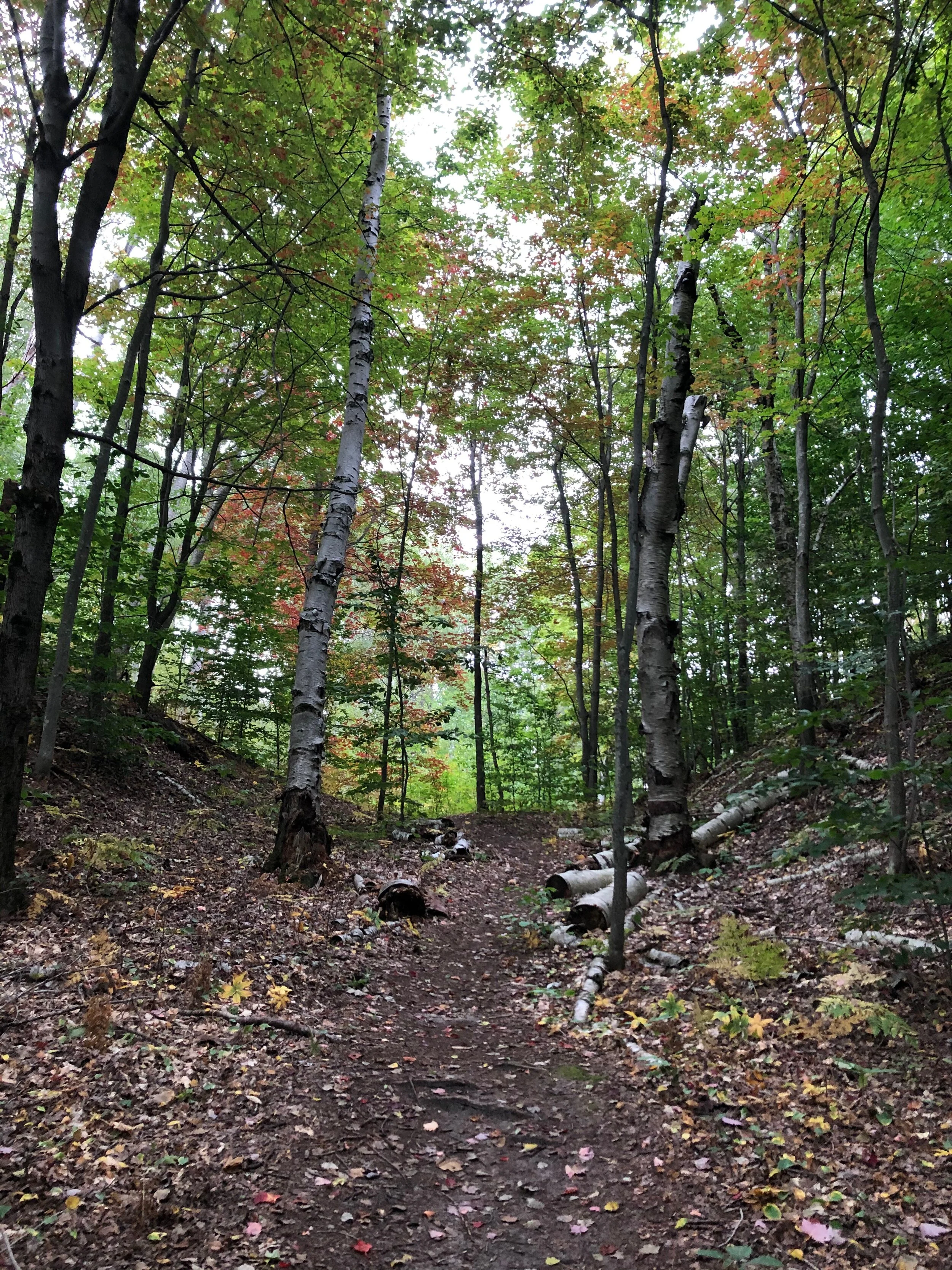
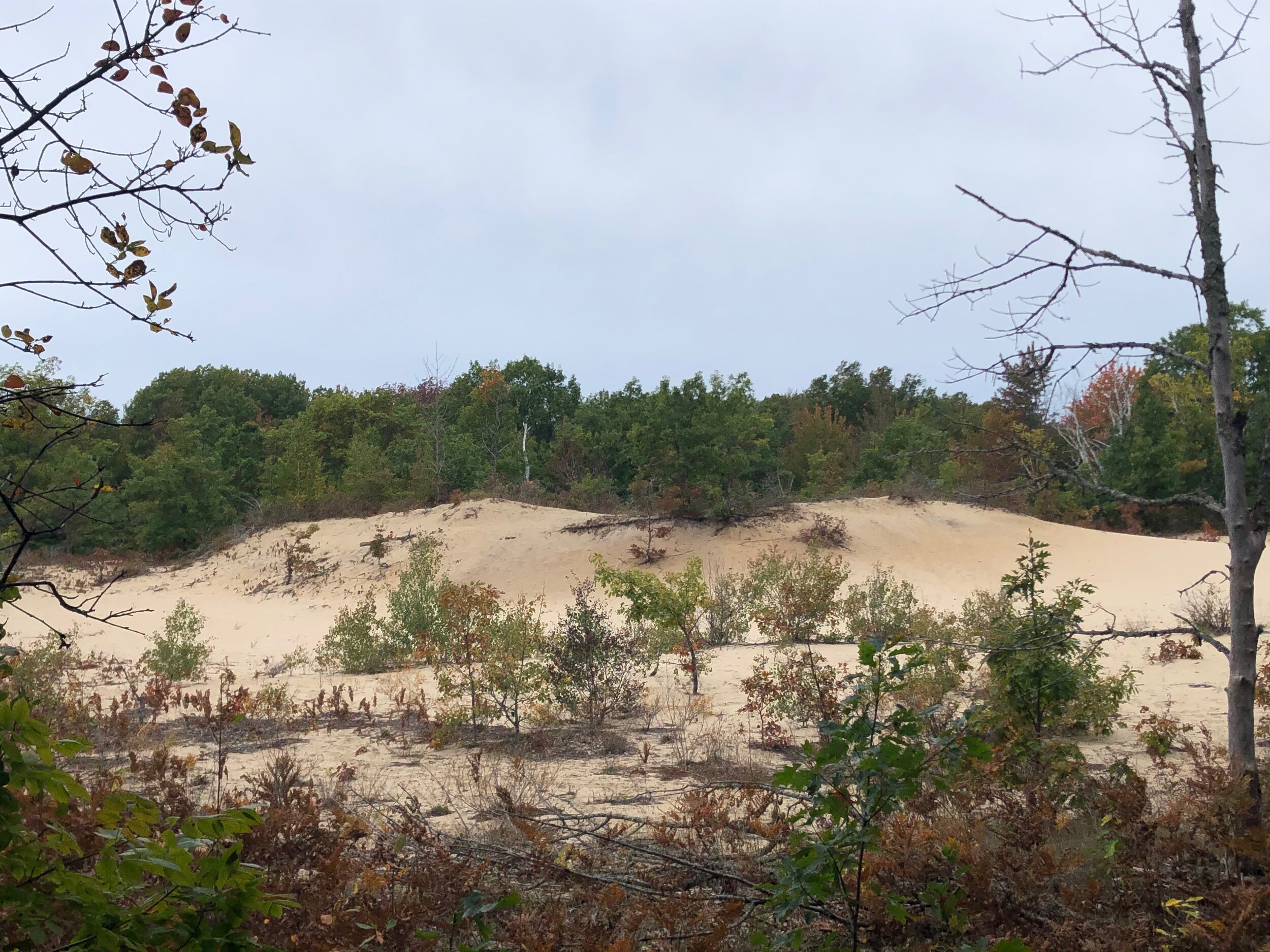
There are dunes of all types present at this dynamic and ecologically diverse natural area within the Houdek Dunes Nature Preserve. There are forested stabilized dunes as well as dunes that continue to shift and change. There are even blowout dunes—green islands in a sea of sand. Pockets of unusually old white birches are present in the dips of the dunes while pink lady slippers bloom in profusion along sandy trails. This natural area protects much of Houdek Creek, the largest tributary flowing into Lake Leelanau.
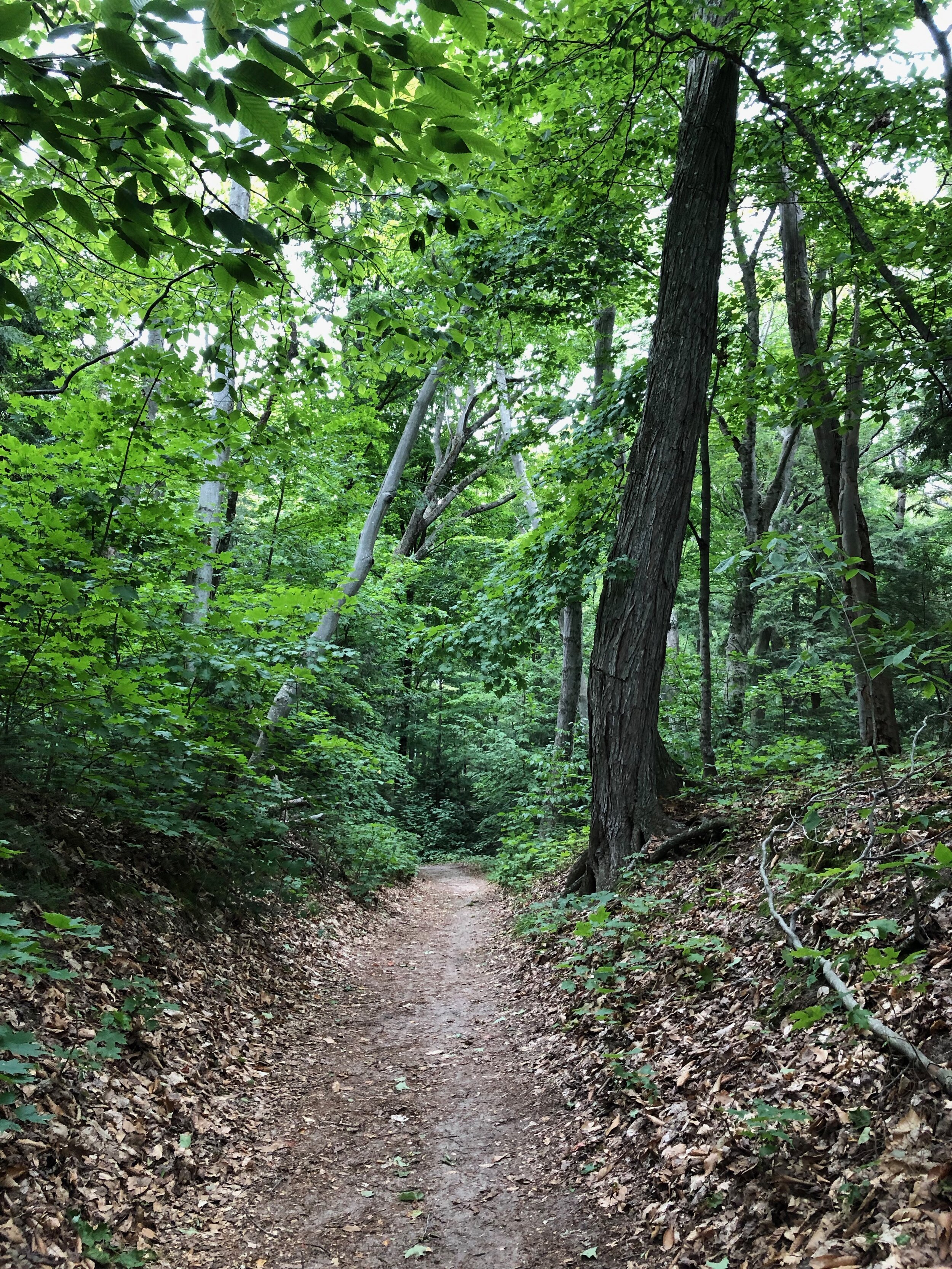
Clay Cliffs
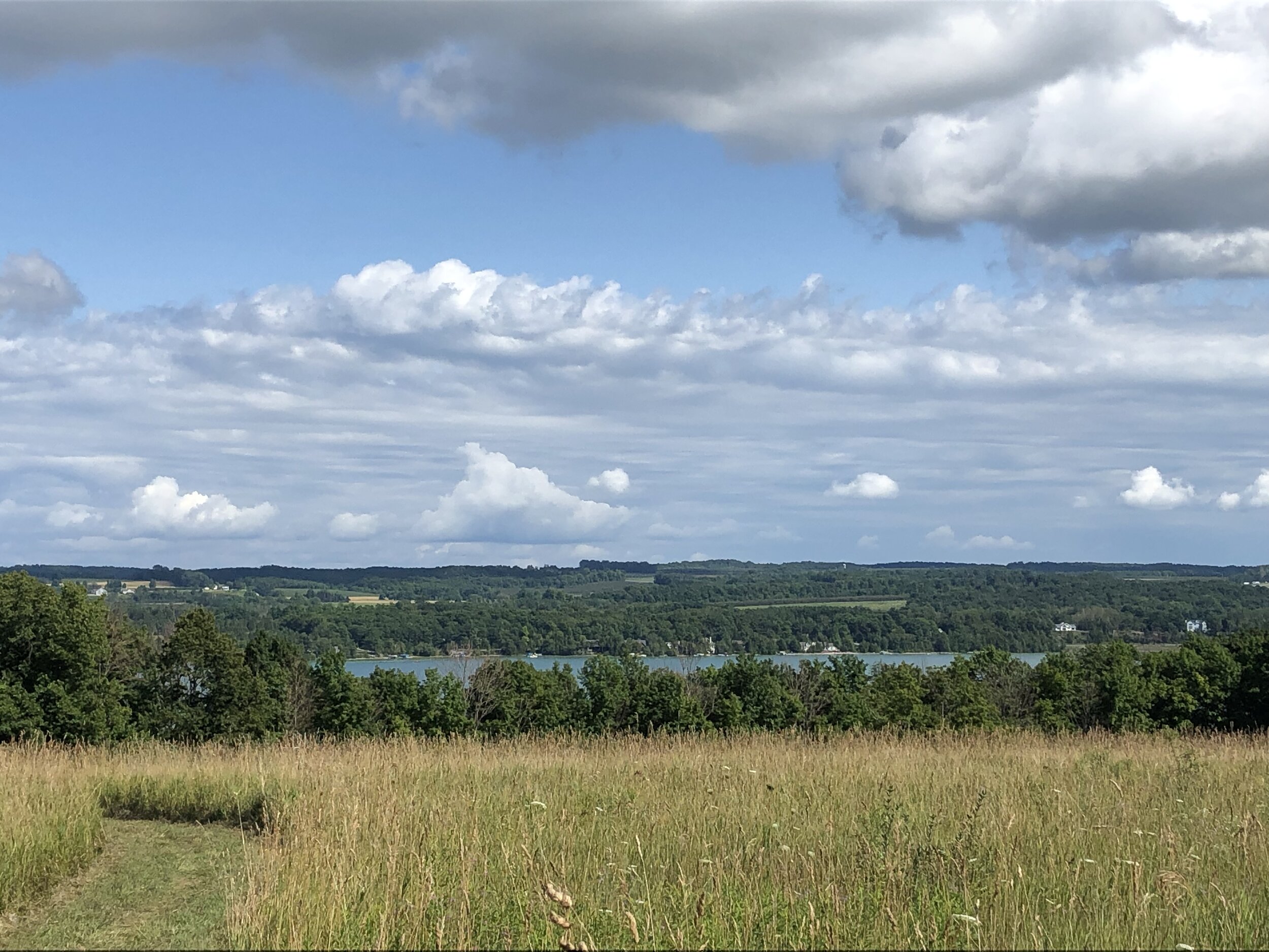
The Clay Cliffs Natural Area offers a 1.5 mile, hilly trail up to a beautiful look-out with panoramic lake views over the bluff where you can see part of North Manitou Island. This trail has two distinctive parts: the woodland trail up to the bluff look-out, and the more southern part of the trail goes through clear farmland with a steep grade that provides sweeping views of the Northern part of Lake Leelanau.
The trails and land here are tougher to hike with narrow sandy paths and steep climbs at times. Getting to the Natural is relatively simple. Take M-22 south from Northport towards Leeland. When you begin to see Lake Leelanau on your left, the parking area to the trailhead is close by on the right.