Winter Trails and Activities
The area is transformed with a blanket of snow
As the area becomes covered with a blanket of snow, the trails transform to a winter sporting wonderland. As the peninsula is surrounded by water, it is common for daily snowflakes. With the colder temperatures of January, the lake begins to freeze and with each snowstorm, unique ice cliffs and caves form in the shallow entrance to the Grand Traverse bay at the Leelanau State Park.
Fat Tire Bike Trails
The Leelanau State Park fat tire bike trails have a reputation for being among the best fat tire trails in the State of Michigan. There are roughly 9 miles of trails dedicated for Fat Tire Biking on the northern side of the Leelanau State Park.
The two parking areas for fat tire biking are one on Densmore Road and another one on Purkiss road.
Conditions must be below 32 degrees and there must be 5” of ambient snow on the ground to ride. Trails are groomed by volunteers and the equipment is funded by NMMBA. Not all trails in Park are open to biking and Mountain biking is NOT allowed from April 1 to December 1.


Fat Tire Bike trail map

Parking Area at Purkiss Trailhead
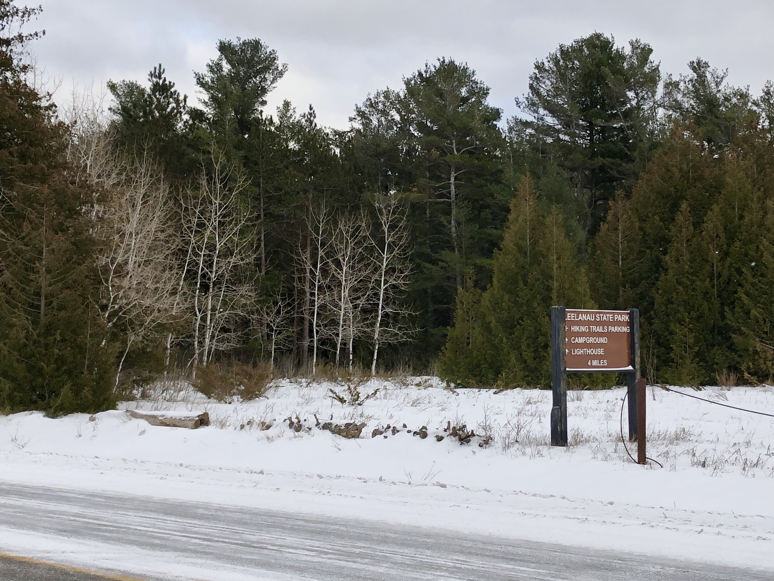
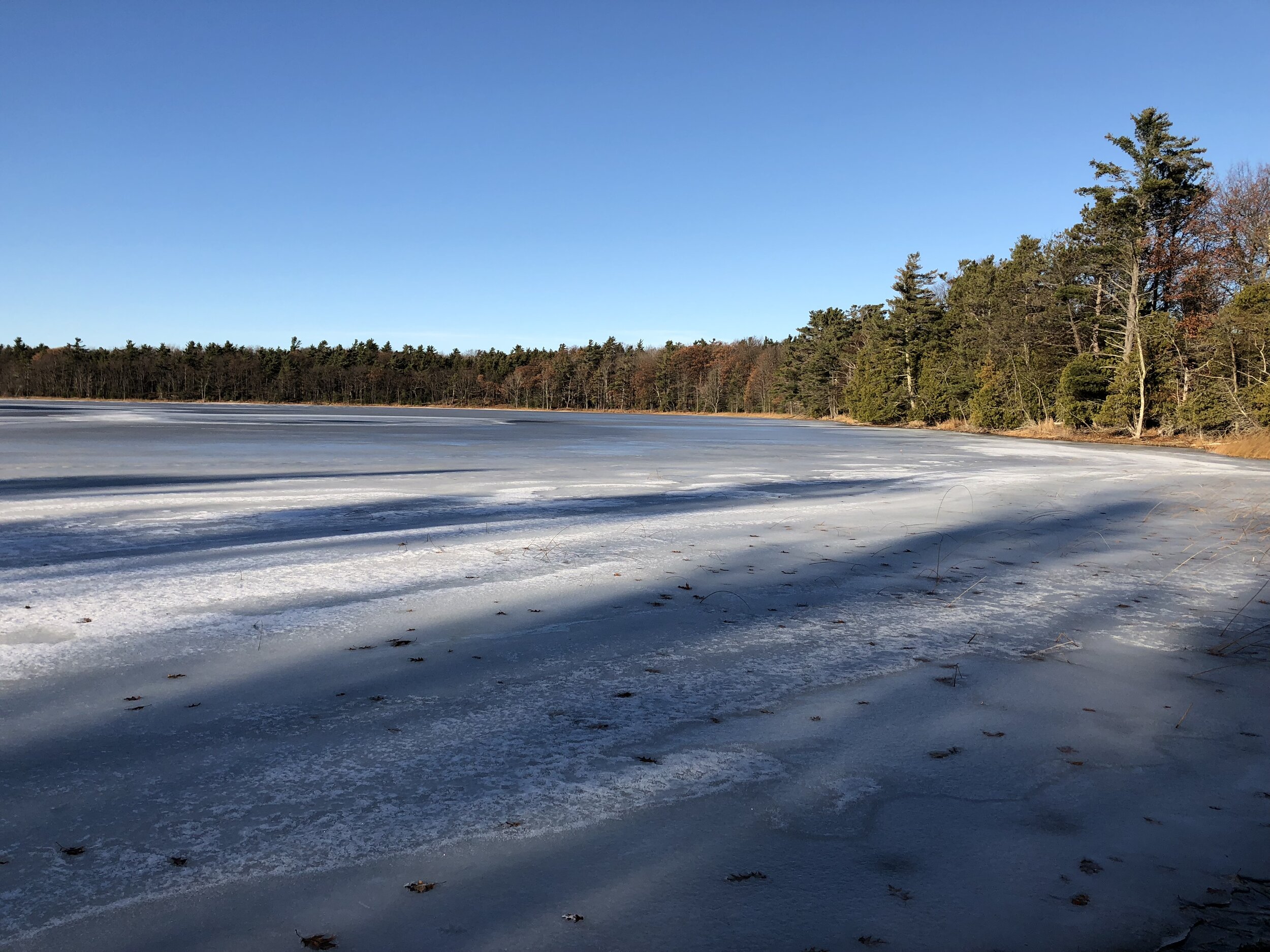
Grand Traverse Lighthouse Area
During the coldest years, the Grand Traverse Bay freezes over - sometimes all the way up the coast of the peninsula. During the snowstorms that bring gruling winter weather, high winds and waves help build ice cliffs and caves as well as frozen ice-scapes farther out in the bay. Once the weather clears, the frozen shore is great for exploring - walking poles or snowshoes are encouraged.

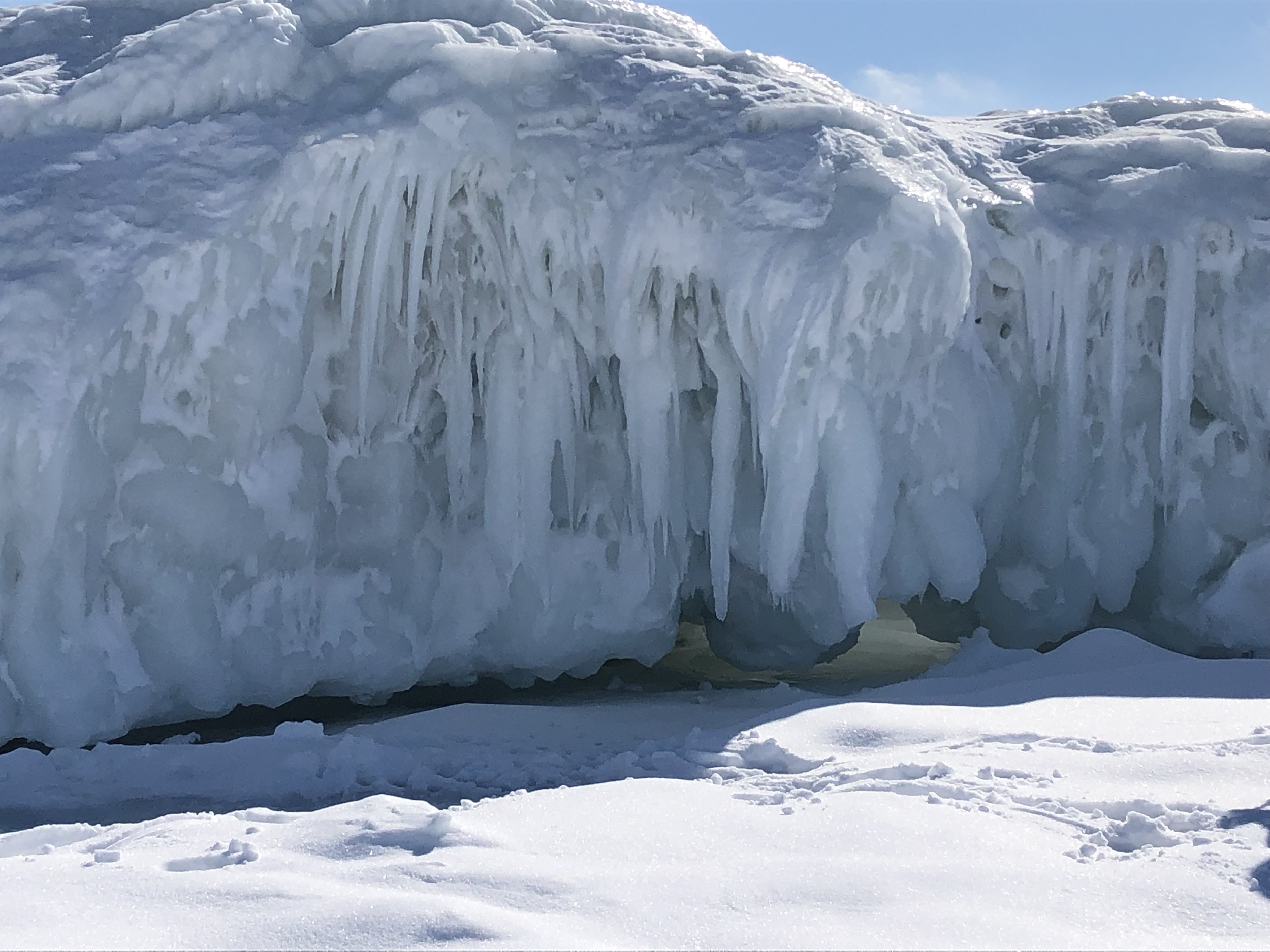
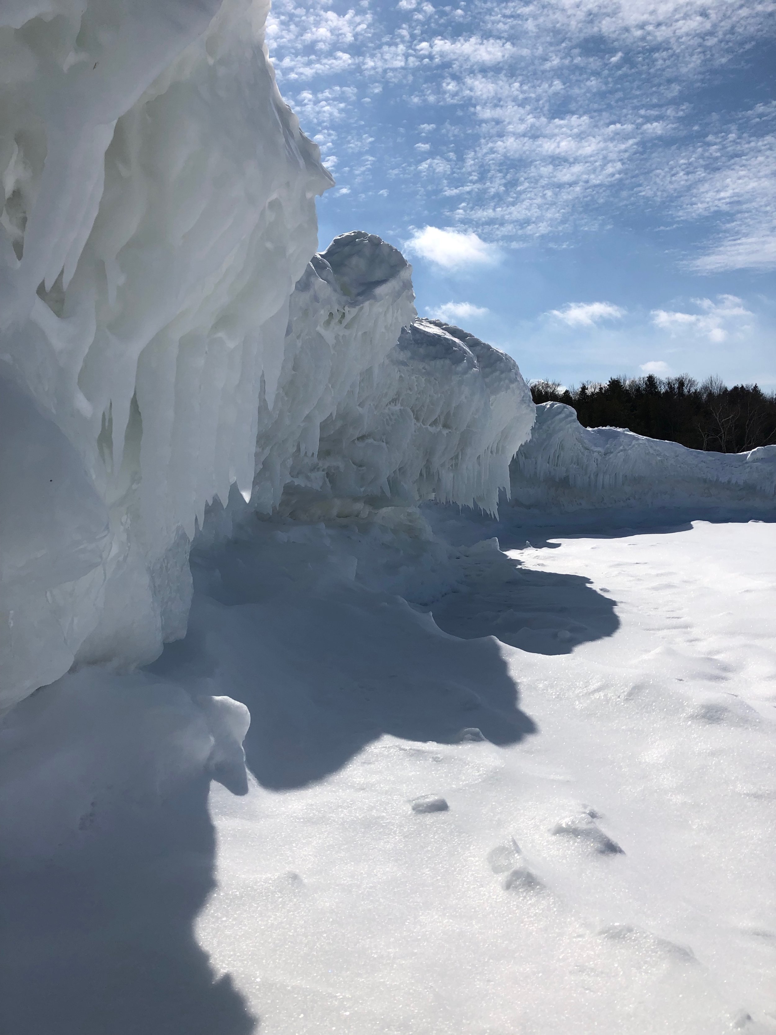
Photos above taken in January 2019 - this freeze does not occur every year!
Lighthouse West
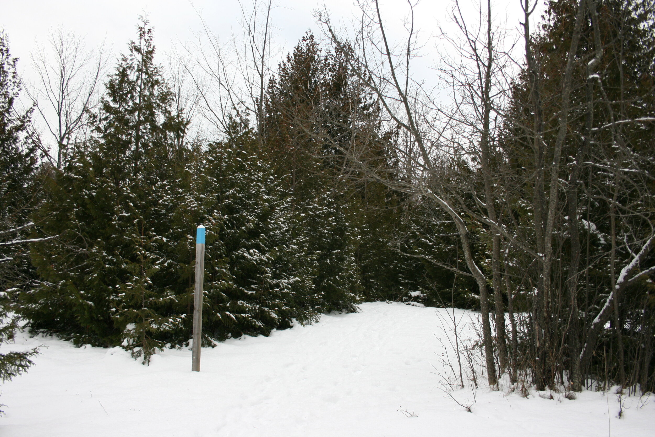

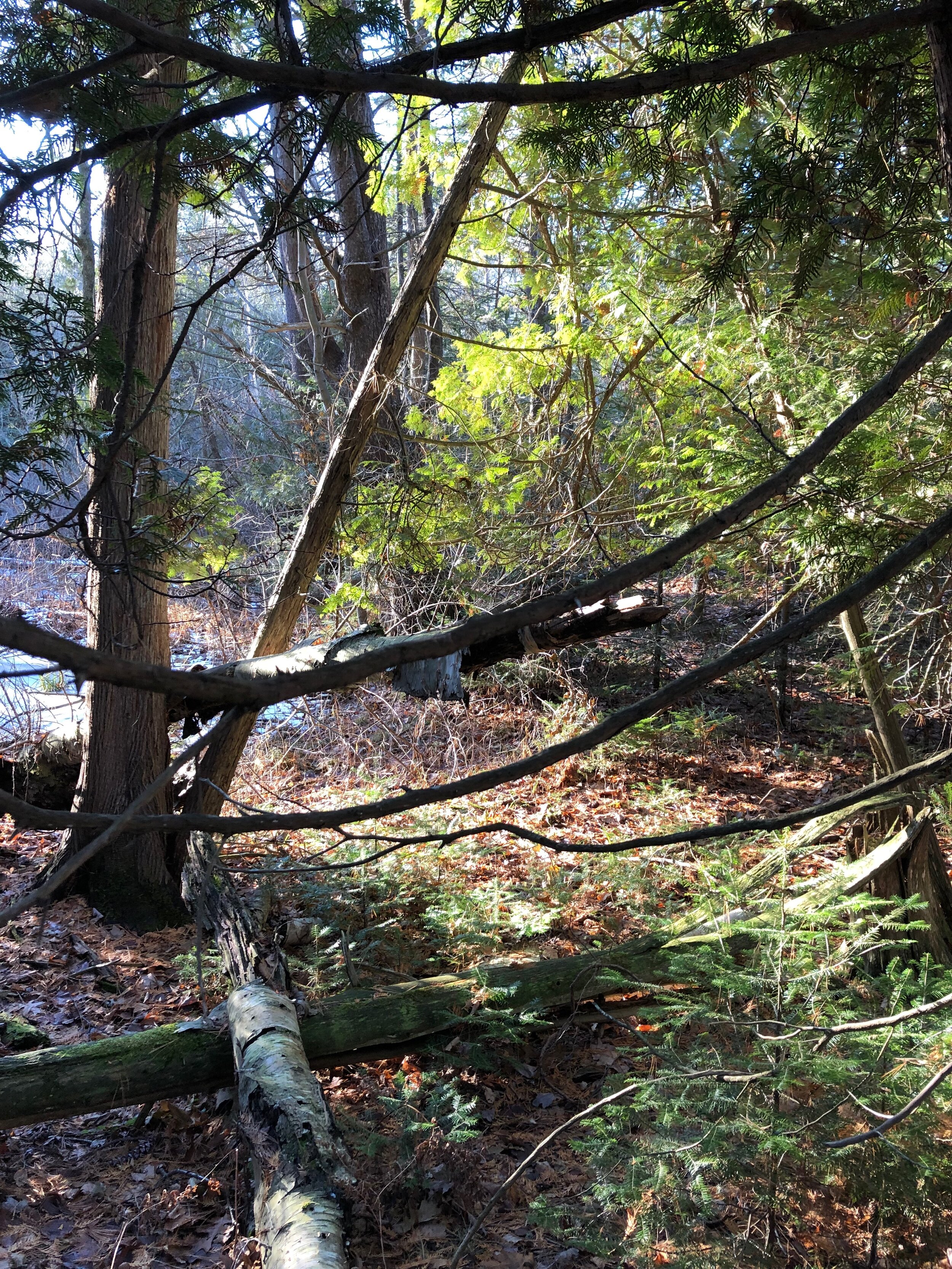
Lighthouse West is a section of flat land north of the dunes of Cat Head Bay. There is a 1.2-mile circular figure-8 trail network on flat terrain through an area that was once an orchard and farm until you get to the steep drop off to what is called a “boulder terrace.” With heavy snowfall, this area becomes a snowshoers ideal destination as the accumulation is heavy and even as there is sparse tree cover over most of the trail.
We suggest hiking with a friend when up by the lighthouse as cell phone reception can be sparse.
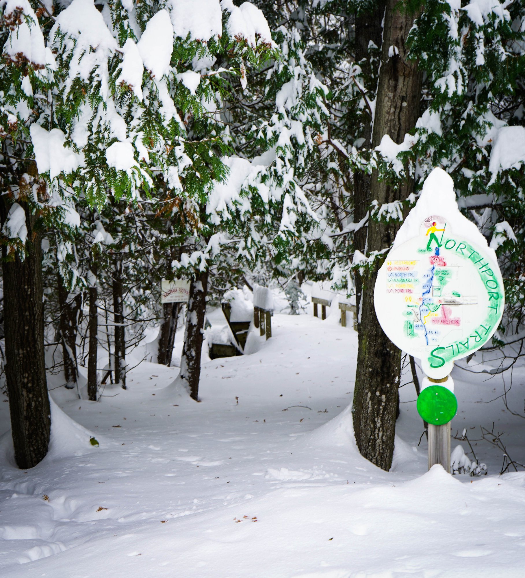
Nagonaba Trail System around Northport

You can get to the Nagonaba trail system from multiple places around Northport. From right in town, go west up Nagonaba St. to the parking lot and trailhead for a short circle that connects to the main part of the trial and the ridge trail.
At this parking area there is a bathroom and a hill that is great for sledding.
The trails are great for hiking or snowshoeing depending on the depth of the snow.
Kehl Lake
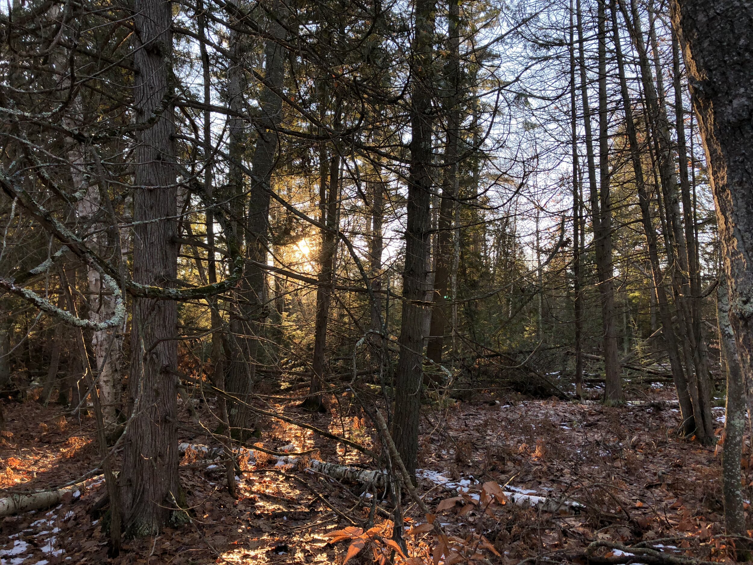
The Kehl Lake Natural Area protects three quarters of the inland lake’s shoreline along with 279 acres of wetlands and towering mixed forest. The 100-year-old hemlocks and old-growth white pines which surround the lake provide food and cover for wildlife.
The trails around this area are wide and flat with some obstacles around the marsh area.
In the winter, this area is quiet and easy to hike as the thick tree-cover keeps the trails visible and clear. Animal spotting is abundant around the lake, even when it is frozen over.
Getting to the area takes you off the main roads around older farming lands of the area. When driving north from the town, turn left onto Snyder Rd, just past the curve of Kilcherman Rd. At the end of Snyder, turn right onto Sugar Bush Rd which takes an almost immediate left, turning into Kehl Rd. You will see the sign for the Natural area on your left after the sheep farm.
We urge caution in the fall as hunting is permitted in the area. We suggest staying to the out and back path close to the lake around dawn and dusk as well as wear bright colors.